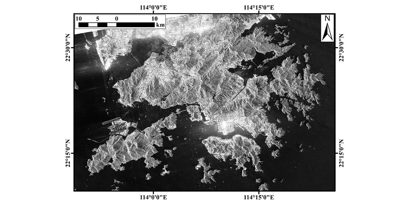
Figure 1: Optical image of Hong Kong (true colour synthesis)
Satellite technologies for flooding monitoring
Extreme rainstorms occurred in Hong Kong on the night of 7 September, with the one-hour rainfall breaking the highest record since 1884. A team of CUHK’s Institute of Space and Earth Information Science (the Institute) has leveraged the satellite technology to assist the government in analysing the flooding disaster.
Affected by the remnant rainbands of Typhoon Haikui, the Hong Kong Observatory issued a black rainstorm warning signal at 11:00 pm on September 7. As of 12:00 midnight, the one-hour rainfall of 158.1mm of rain was recorded. There were more than 200mm of rain recorded in areas such as the New Territories and Hong Kong Island, resulting in flooding and even landslides in many areas. The incidents affected urban traffic and the normal lives of citizens.
To assist the government in researching and judging the disaster situation, a team led by Institute Director Professor Kwan Mei-po and Professor Ma Peifeng, immediately obtained three images from the national Gaofen-3 satellite equipped with a C-band Synthetic Aperture Radar (SAR). The shooting times were 26 August, 7 September and 9 September respectively. They analysed the situation before, during and after the disaster, and sent it to the relevant government departments for research.
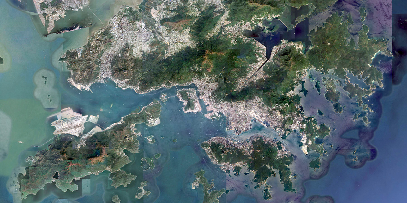
Figure 2: The Synthetic Aperture Radar (SAR) image by the national Gaofen-3 satellite interferograms (Bright colours represent strong scattering targets like buildings. Dark colours represent weak scattering targets like water bodies)
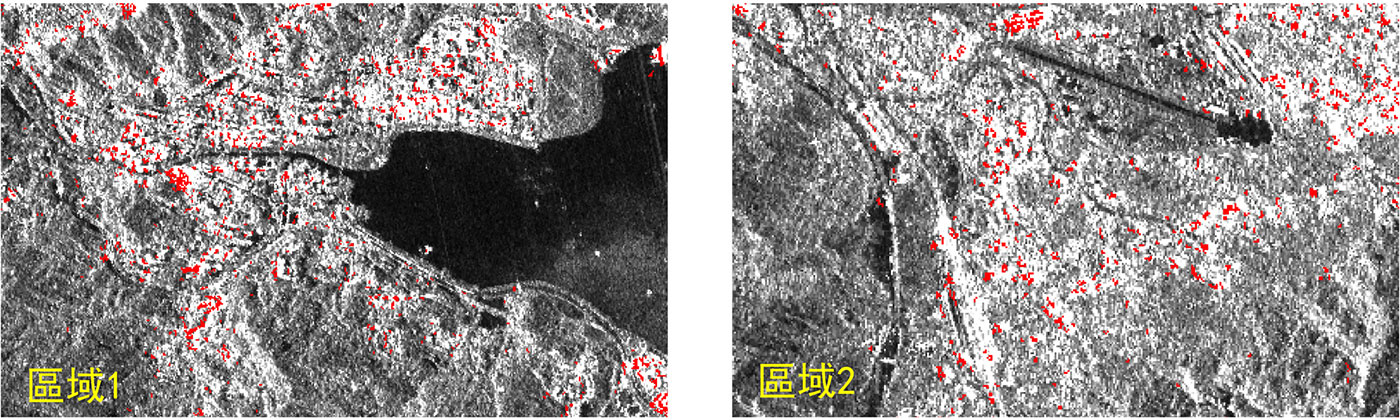
Figure 3: Red zones indicate suspected flooding (Disclaimer: Data discrepancy may occur due to limited data solution and processing technology)
Compared to optical satellites, the Gaofen-3 SAR satellite can uniquely penetrate clouds and rain to perform remote sensing detection in disaster-stricken areas under extreme weather conditions such as heavy rains. The observation results of the Hong Kong area carried out by the Gaofen-3 satellite on September 7 are shown in Figure 2. By comparing SAR images taken at different times, researchers can monitor flooding in several disaster-stricken areas, as shown in Figure 3, where the red areas represent suspecte7d flooding areas. Judging from the analysis results, many areas are indeed flooded. Affected by floods, the results play an important role in disaster assessment and emergency measures.
The Institute of Space and Earth Information Science of CUHK is the only Hong Kong base of the National Remote Sensing Center of China. As Hong Kong’s unique national science and technology innovation platform in the field of satellite remote sensing, it is the only ground receiving station locally for remote sensing of satellite data. The Institute has been engaged in research on disaster monitoring and forecasting based on remote sensing images for years. It is committed to providing accurate disaster information to Hong Kong and around the world to reduce casualties and financial losses caused by natural disasters. This time, the Institute has conducted an effective analysis of rainstorm flooding disasters based on data from the national Gaofen-3 satellite. In the future, it will continue to use satellite remote sensing images to evaluate and conduct early warning research on risks such as flooding and landslides.
Photos/ CUHK’s Institute of Space and Earth Information Science
VC’S MESSAGE
Message from the Vice-Chancellor: From genuine bonds to powerful actions
Message from the Vice-Chancellor: Harvesting success through stronger ties
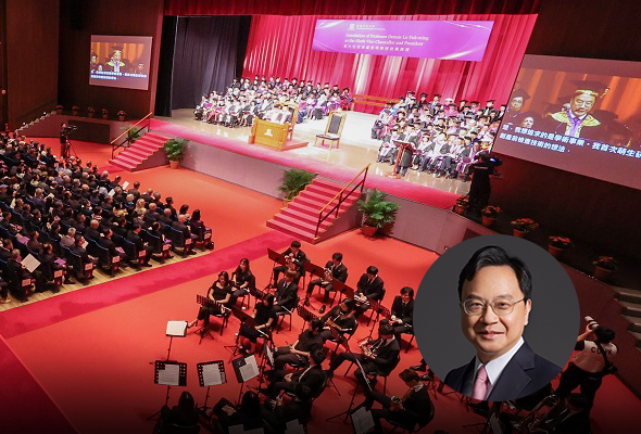
Message from the Vice-Chancellor: A solemn pledge of vision and leadership
Message from the Vice-Chancellor: Fuelling impact through partnership and commitment
Message from the Vice-Chancellor: Sailing towards shared success
Message from the Vice-Chancellor: Partnering for societal impact
Previous
Next
FEATURE STORIES
Bringing research to life
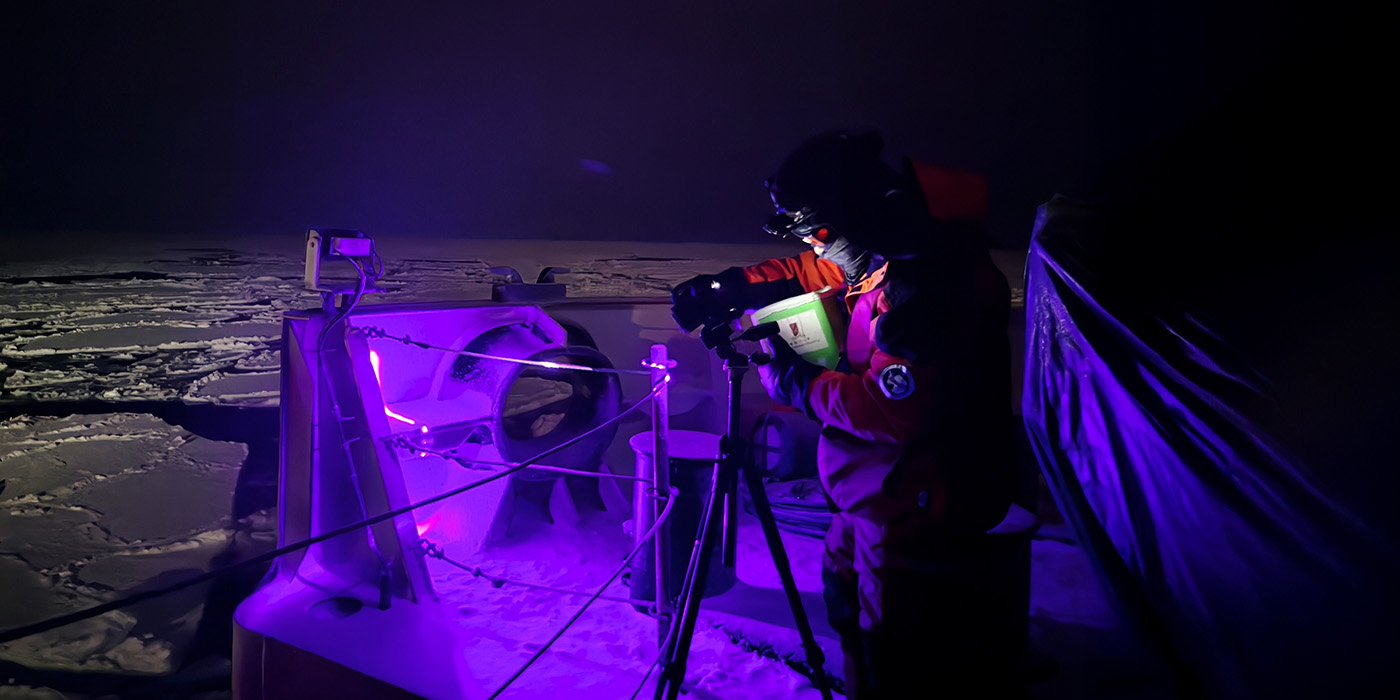
A baptism of ice
Belief in bonding
Tertiary education holds fast to higher calling
Extraordinary strength in an ordinary life
A legacy of innovation, a vision for tomorrow
Previous
Next
HIGHLIGHTS
Best performance yet in global rankings
Exploring city’s economic opportunities and challenges
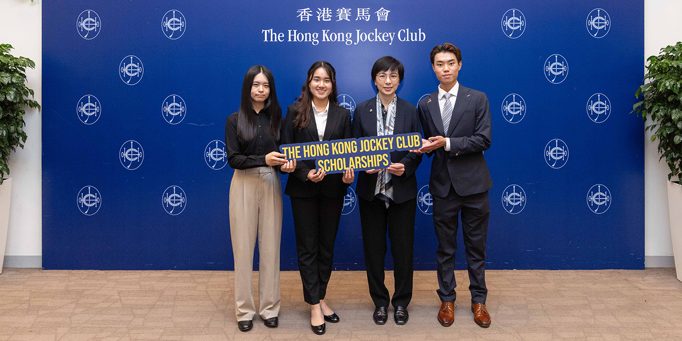
CUHK students join Jockey Club Scholars Welcome Day
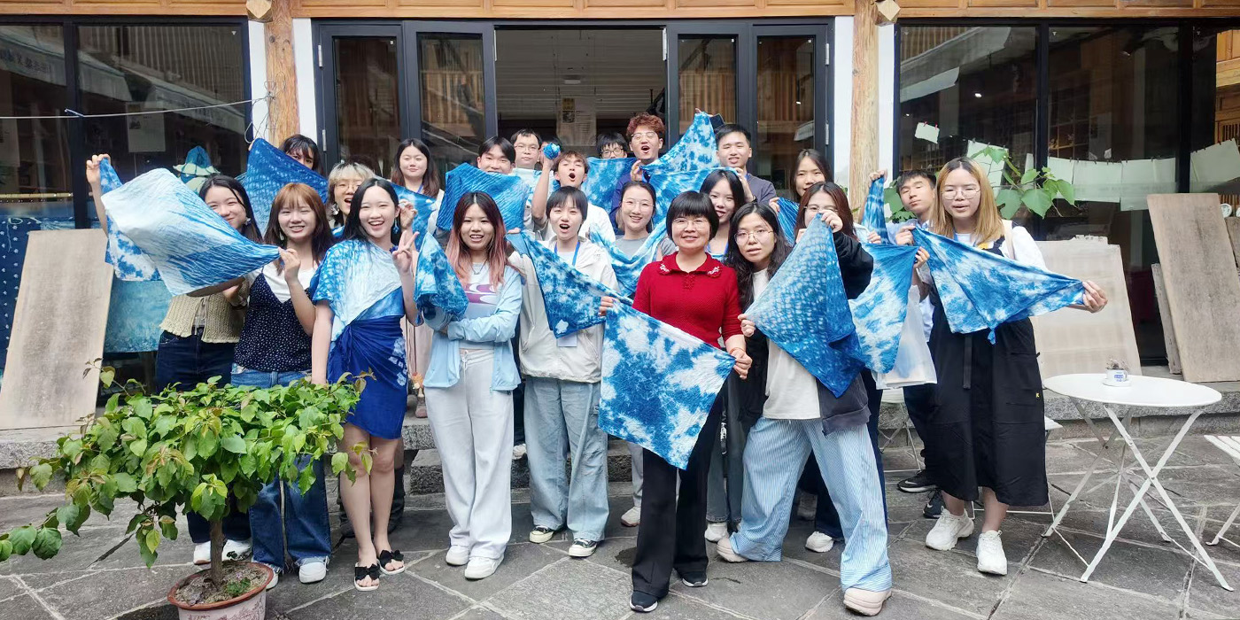
Journey into Yunnan’s unique cultural heritage and industries
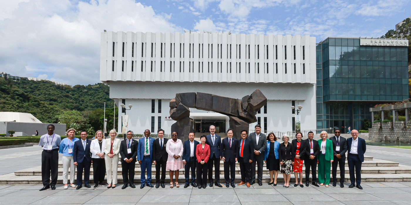
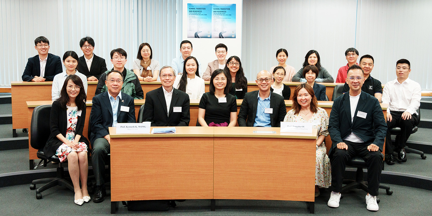
Third Greater Bay Area policy forum at CUHK highlights student pathways and career readiness
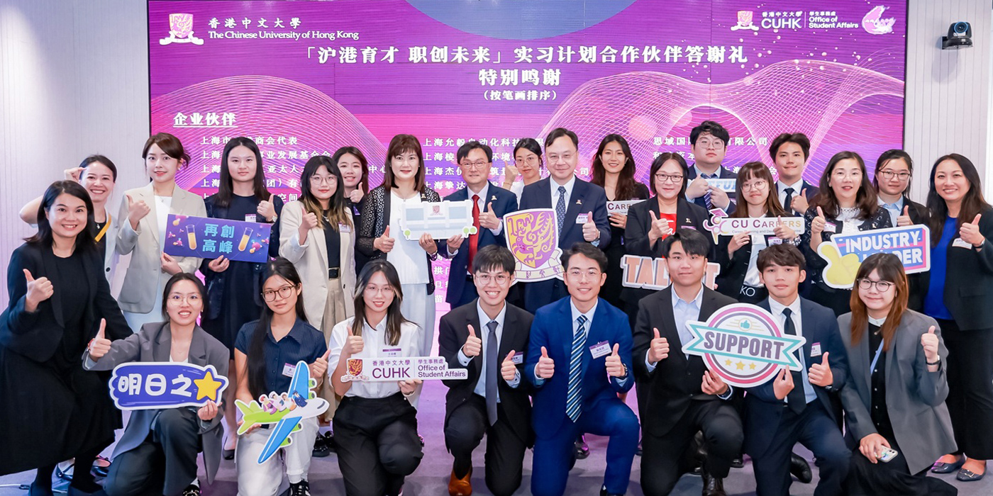
500 students join Shanghai internships
Previous
Next
SHARE POST:
We welcome members of CUHK to contribute content for CUHK in Focus. Please send your submissions to enews_reply@cuhk.edu.hk. Submissions for highlights should be no more than 500 words in English and 700 characters in Chinese. Contributors are advised to familiarise themselves with the content and format of our newsletter before submission.
If your submission is accepted, we will make further contact. Please note that CUHK in Focus reserves the right to decide whether or not to publish an article submitted and the right to edit the contents.